Professional Geospatial, Software and Data Collection Services

From custom software and automation tools to drone based aerial imagery, we're extremely diverse in the geospatial sector.

Our Services

About Us

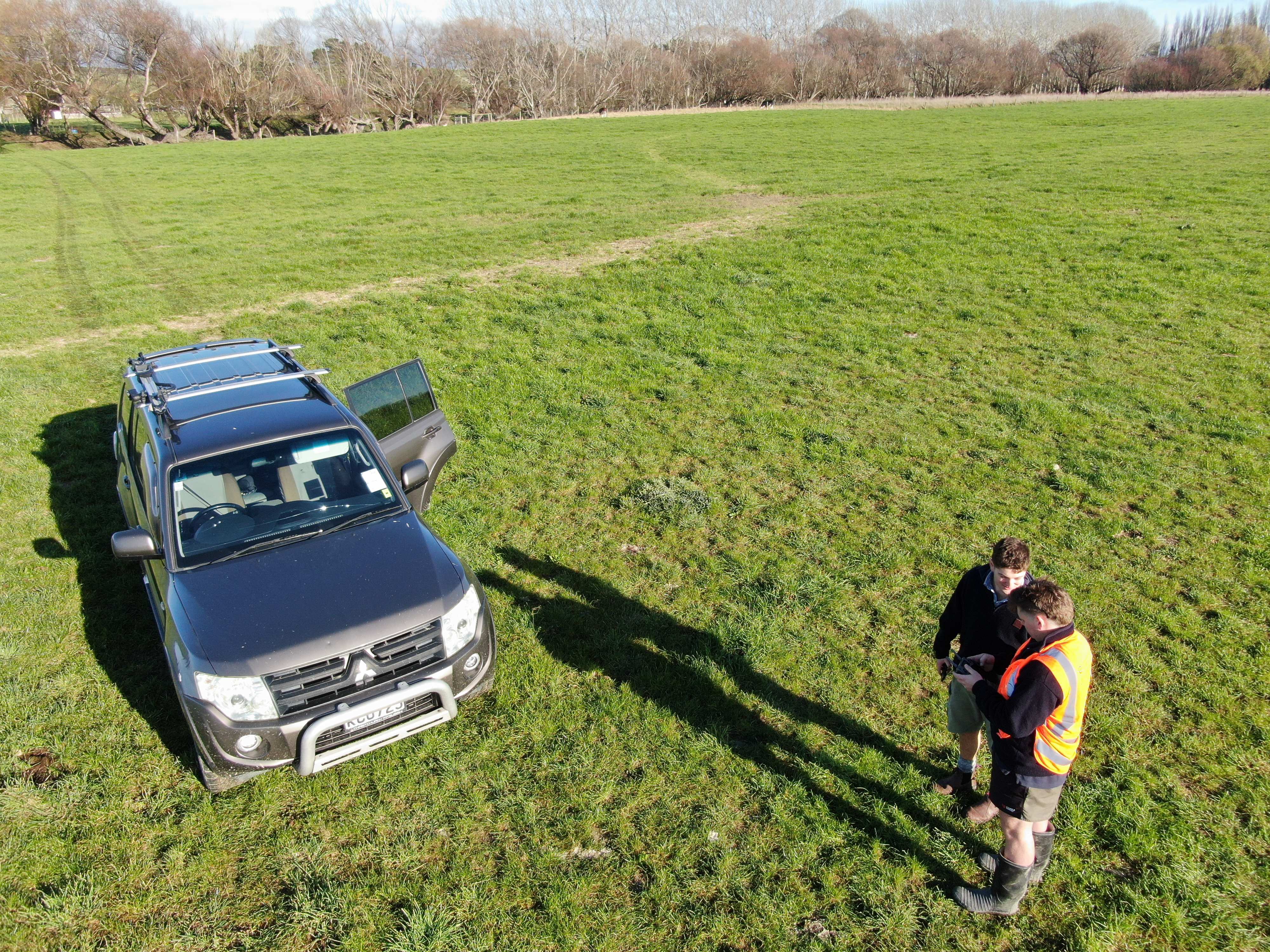
Founded in Christchurch in 2020, GEONX delivers custom software, data collection and geospatial services. We provide survey grade measurements and data collection for a competitive price.

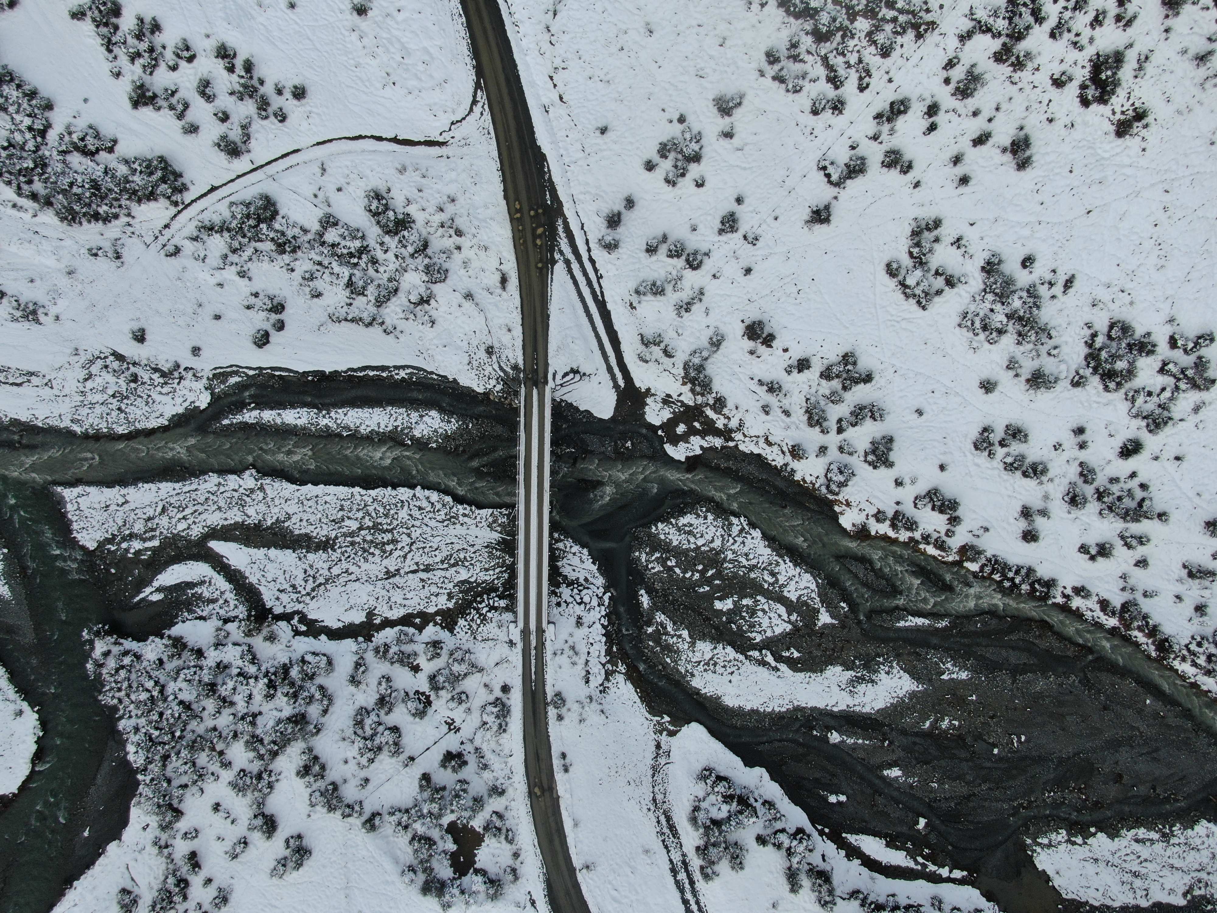
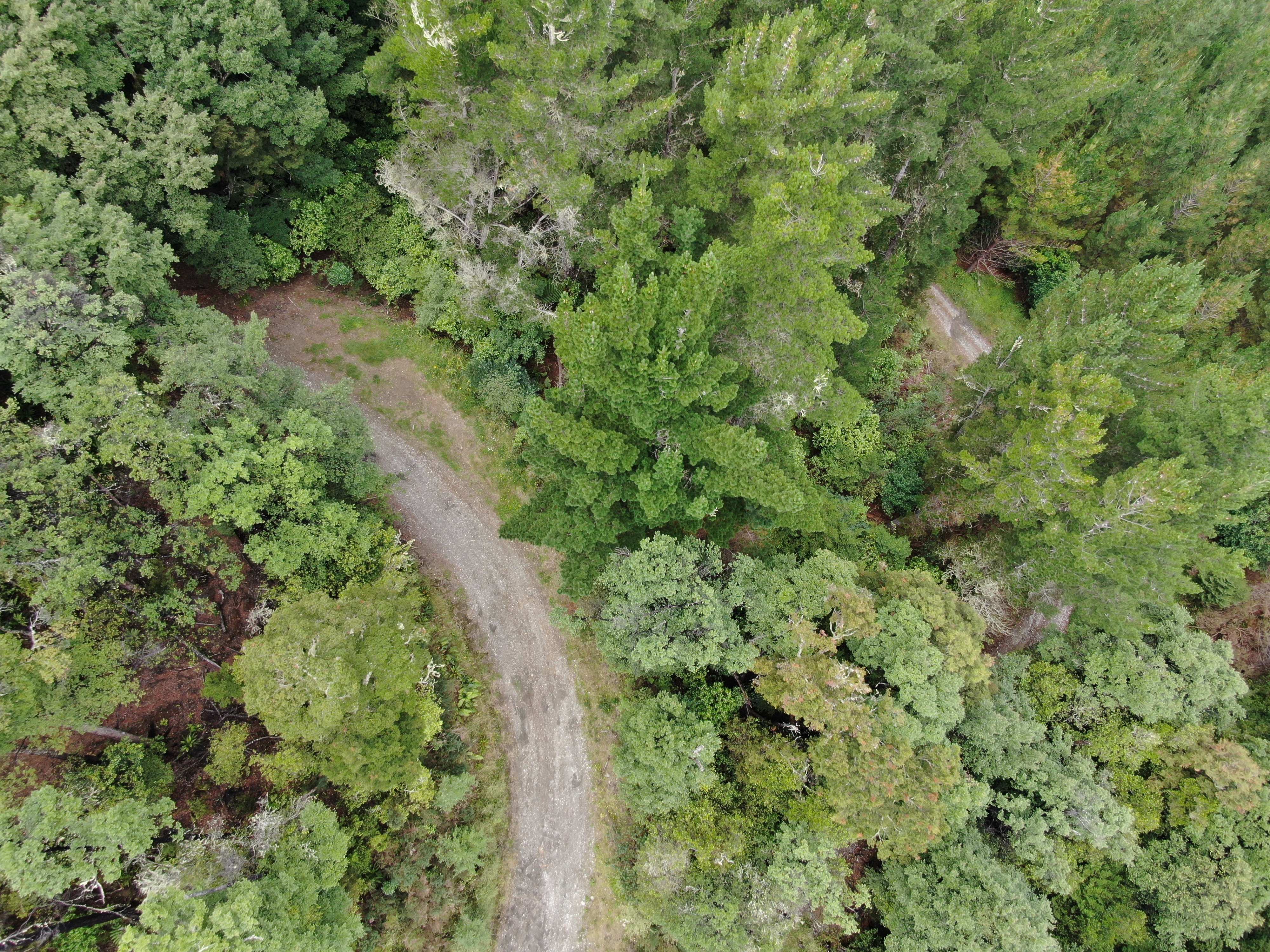
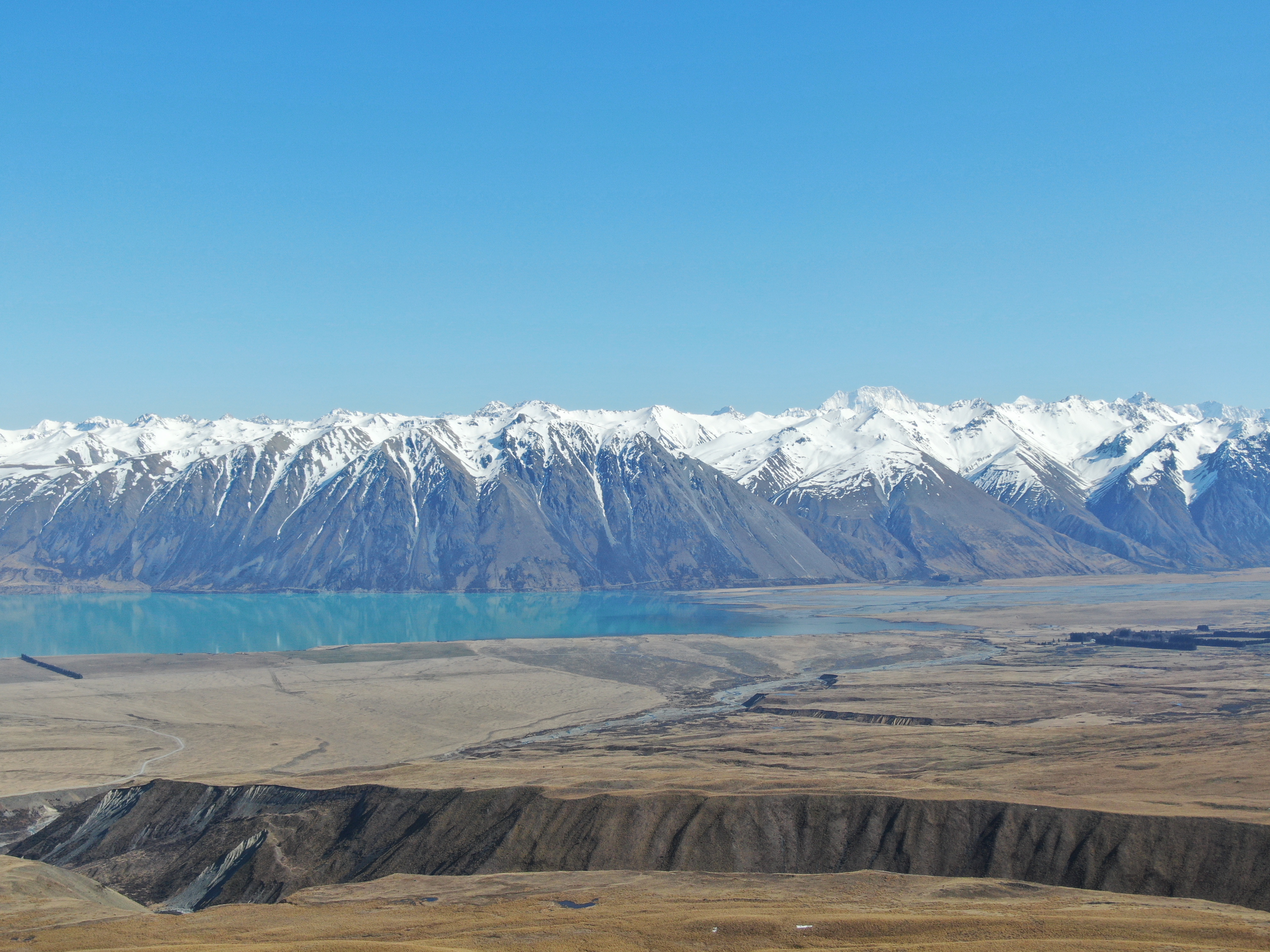
We've got a passion for the outdoors and our extremely diverse landscapes, so being able to map it from above, analyse it and see valuable insights is pretty damn cool.

250+

Projects Completed

5+

New Zealand Based Clients

5+

Years Experience

Our Services

GIS Plugins & Automations

Enhance your GIS capabilities with custom plugins and automated workflows for QGIS, ArcGIS, and other platforms - boosting productivity and eliminating repetitive tasks.

  • QGIS & ArcGIS plugins
  • Workflow automation
  • Data processing scripts
  • Custom geoprocessing tools

Digital As-Built & Project Services

Convert physical plans and surveys into precise digital formats. We digitize as-builts, engineering plans, and project documentation.

  • CAD drawing digitization
  • As-built plan conversion
  • Survey and GPS data processing
  • Quality assurance

RTK Surveying Services

Professional Real-Time Kinematic surveying with 2.5cm precision for construction, engineering, and mapping projects throughout New Zealand.

  • 2.5cm precision accuracy
  • Real-time positioning
  • Ground truth surveys
  • Construction layout

Get In Touch

Contact Information

Email:

blake@geonx.nz

Phone:

022 165 6821

Address:

South Island
New Zealand